
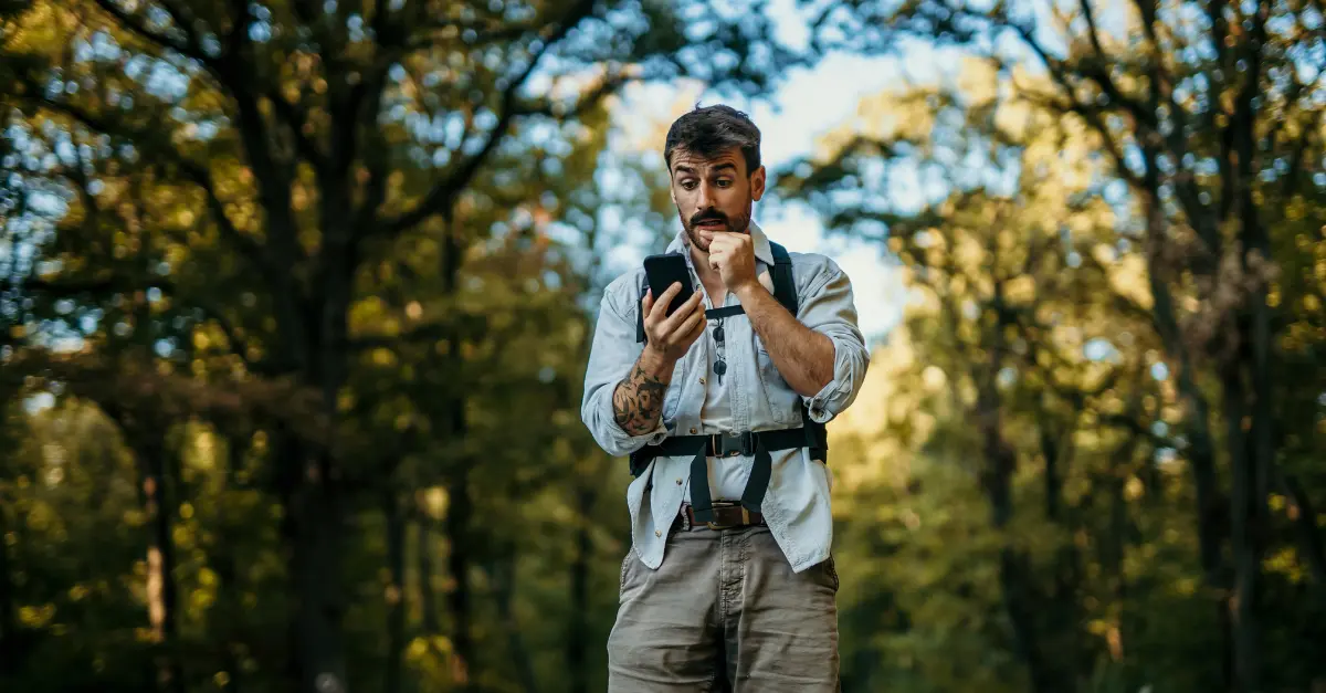
Just a few years ago, setting out for a hike in the High Atlas meant relying on a paper map, advice from a host, and a healthy dose of improvisation. Today, the typical hiker loads a GPX track before setting off, checks several weather forecasts, and carries a smartphone packed with offline maps. This change in practices is taking place against a backdrop of strong tourism growth: according to the Ministry of Tourism, Morocco welcomed 19.8 million visitors in 2025, 14% more than in 2024.
These statistics do not distinguish travelers who come for hiking, trekking, or winter sports, so I cannot quantify the exact weight of the outdoor sector. But on the ground, the trend is clear: more people are taking part, and more technology is finding its way into their backpacks. The question remains what these tools actually bring to the table, and what they cannot replace.
GPS and Navigation Apps
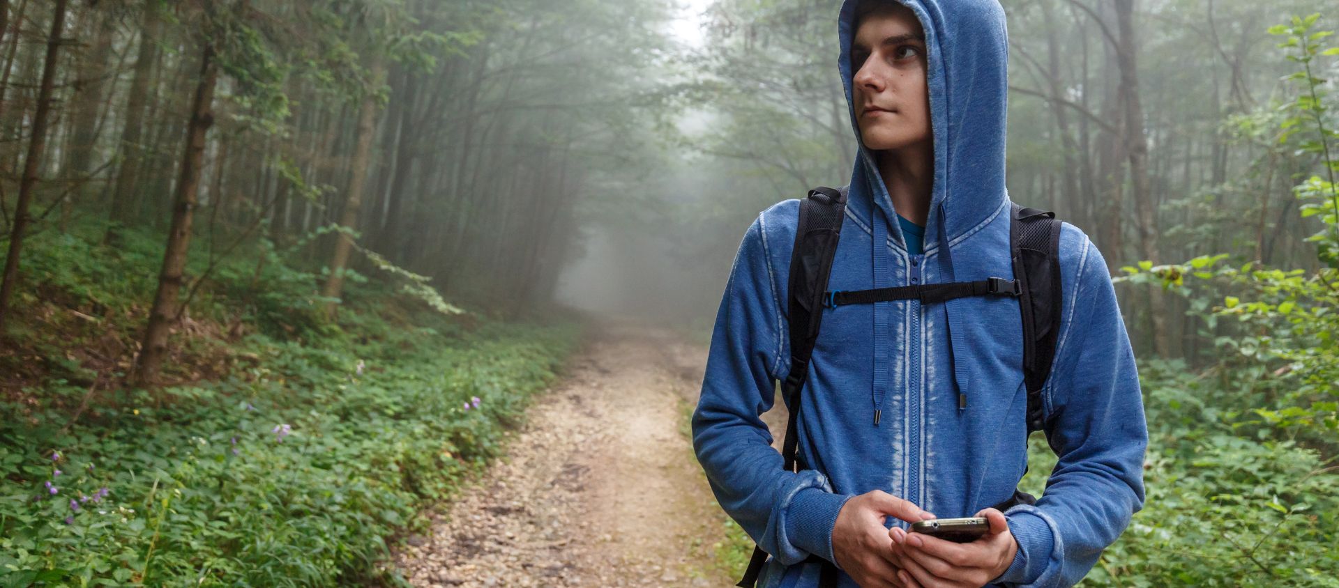
Digital navigation is the most visible transformation. Mapping applications, often powered by collaborative OpenStreetMap data, allow users to download a route, follow it without network coverage, and share a track with their companions. For a foreign traveler unfamiliar with the terrain, the increase in independence is significant.
However, their limitations must also be taken into account. Several travel guides point out that trails in the High Atlas are rarely marked according to European standards and that available maps are not always reliable. A track sourced from a community platform may be approximate or outdated, particularly after a landslide or heavy rainfall. GPS tells you where you are; it says nothing about the condition of the trail ahead.
Digital navigation also changes how hikers are distributed across the mountains. The warden of the Toubkal Refuge, quoted by the Swiss Alpine Club, reports that more than 200 people can set out for the summit on the same day, at an altitude of 4,167 meters. Reliable tools make it possible to consider less crowded objectives, such as M’Goun (4,071 meters), provided users have the experience required for such routes.
GPS Watches and Connected Devices
GPS watches have become fully fledged tools in the mountains. Barometric altimeters, accumulated elevation gain, heart rate monitoring, and several days of battery life in power-saving mode help hikers manage their effort on routes with significant elevation gain, such as the climb from Imlil (1,740 meters) to the Toubkal Refuge (3,207 meters).
However, using them at altitude requires good judgment. Many models display blood oxygen saturation, but these consumer-grade measurements remain indicative. They do not replace monitoring the symptoms of acute mountain sickness or seeking advice from a guide. A reassuring figure on the screen can lead someone to underestimate a very real medical problem.
Artificial Intelligence for Adventurers
Artificial intelligence is entering the outdoor sector through practical rather than spectacular applications. Weather forecasting models increasingly rely on machine learning; assistants can suggest routes adapted to a user’s level and length of stay; image recognition can identify plants and birds; and instant translation makes communication with muleteers and accommodation providers easier.
These tools save time, but their shortcomings are well known: approximate answers, incomplete local data, and a confident tone even when information is uncertain. In the mountains, an automated suggestion should be cross-checked with an official source and, ideally, with a local professional. AI can help prepare for an outing, but it does not make decisions on behalf of the person taking part.
Technology to Improve Safety
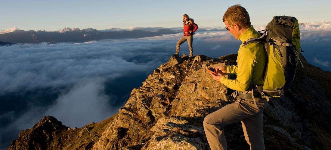
This is the most sensitive issue. The devices available today are well established: real-time location sharing with a family member or friend, alert applications, emergency beacons, and satellite messaging devices when mobile coverage is unavailable. Before bringing this type of equipment to Morocco, it is important to check the regulations applicable to satellite equipment.
Mobile coverage is expanding. Morocco commercially launched 5G in November 2025, following the allocation of licenses to the country’s three national operators in July of the same year. According to the National Telecommunications Regulatory Agency (ANRT), commitments target coverage of 45% of the population by the end of 2026 and 85% by 2030. These targets are expressed in terms of population, not territory: it is reasonable to expect remote valleys and high-altitude areas to be covered after urban areas. The precautionary rule therefore remains never to rely on the network.
Technology does not eliminate the need for basic precautions: check the weather, inform someone of your itinerary, and seek assistance when the terrain requires it. Several operators state that using a certified guide has been mandatory for Toubkal since 2019. I have not been able to confirm this rule through an official source, and I recommend checking with the relevant authorities before setting off.
Smartphones, Photography and Content Creation
The smartphone has become the central tool for preserving travel memories. Computational photography, stabilized video, and instant publishing mean that every outdoor enthusiast can create content. For guides, guesthouses, and local agencies, social media has become a fully fledged commercial showcase.
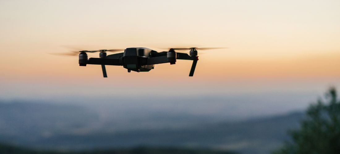
This exposure also has a downside. Sharing precisely geolocated places can concentrate visitors on fragile sites without infrastructure or waste-management systems keeping pace. As for drones, which are highly popular for photography and video, their use is strictly regulated in Morocco and requires prior authorization, which should be checked before any trip.
Technological Innovation in Morocco
Beyond individual uses, the question is one of the local ecosystem. The Maroc Digital 2030 strategy aims to increase the number of startups from 380 in 2022 to 3,000 by 2030. In 2025, the Minister Delegate in charge of Digital Transition announced a 1.3 billion dirham funding package to support this development. New technoparks have also opened in Agadir and Essaouira, two cities closely associated with board sports.
Tourism has its own dedicated initiative: a program launched in September 2024 preselected 414 startups in gastronomy, gaming, and digital technology, with projects involving immersive experiences and booking platforms. However, I have not found consolidated figures for companies specifically focused on outdoor activities; this segment still appears to be relatively unstructured. To follow these developments, Silicon Valley, the magazine covering tech and digital news in Morocco, regularly reports on the startups, infrastructure, and public policies shaping this ecosystem.
The economic dimension is also important. According to the ministry, tourism revenues reached 124 billion dirhams during the first eleven months of 2025, up 19%, an increase greater than the growth in visitor arrivals. Local services such as reliable trail mapping, refuge bookings, and connections with certified guides could capture part of this value.
Key figures to remember
- 19.8 million tourist arrivals in 2025, with a target of 26 million by 2030 (Ministry of Tourism)
- Commercial 5G available since November 2025, with 45% of the population targeted for coverage by the end of 2026 and 85% by 2030 (ANRT)
- 3,000 startups targeted by 2030, compared with 380 in 2022 (Maroc Digital 2030)
- Toubkal: 4,167 meters, with the usual starting point in Imlil at 1,740 meters
Digital Technology as a Companion to the Outdoor Experience
Technology makes Morocco’s landscapes more accessible, helps people prepare more effectively, and makes them easier to share. It does not automatically make them safer, nor does it solve the issue of preserving them. It shifts responsibilities: toward the outdoor enthusiast, who must understand the reliability and limitations of their tools; toward local stakeholders, who can develop suitable services; and toward public authorities, which regulate connectivity, equipment, and access to sites.
The real question is therefore no longer whether digital technology is becoming part of outdoor activities in Morocco, but who will make the most of it: foreign platforms, or a local ecosystem that is still taking shape.
FAQ
Is GPS enough to hike alone in the Atlas Mountains?
No. It helps with navigation, but it provides no information about trail conditions or the weather. On a summit such as Toubkal, going with a guide remains strongly recommended.
Does mobile coverage reach the mountains?
Unevenly. 5G coverage is expanding, but its targets primarily concern the population. In high-altitude areas, it is better to download maps for offline use and not depend on the network.
Can you use a drone to film your hikes?
Their use is strictly regulated in Morocco. Prior authorization is required; check with the relevant authorities before setting off.